
GEOL 210 Final, Fall 1997
American University of Beirut · Geomorphology · 8 pages
More GEOL 210 files
Show the text of this final exam
DEPARTMENT OF GEOLOGY
American University of Beirut
FINAL EXAMINATION
GEOMORPHOLOGY
(G-210)
This examination is made of Four Parts in eight pages including the covering page.
Each part begins with certain relevant instruction to abide by. Be careful in reading and
answering as eventually everything will count.
Do not forget to write your name on this page. It is also worth checking the number of
parts and pages of the examination in the booklet before and after answering the
questions. Remember that any lacking page or answer will be on your responsibility.
Date: February 10", 1998 Name:
Time: From 11 a.m. To 12:30 p.m. Student No:
N.Aker
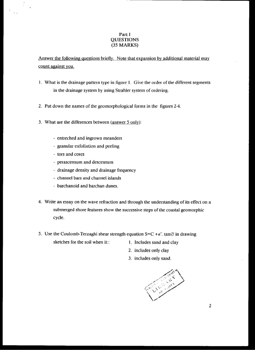
Part I
QUESTIONS
(35 MARKS)
Answer the following questions briefly. Note that expansion by additional material may
count against you.
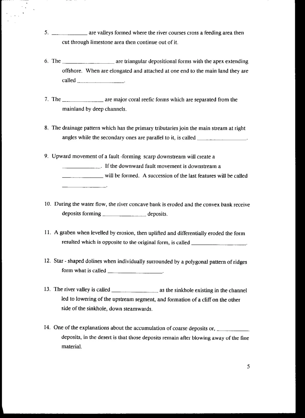
1. What is the drainage pattern type in figure 1. Give the order of the different segments
in the drainage system by using Strahler system of ordering.
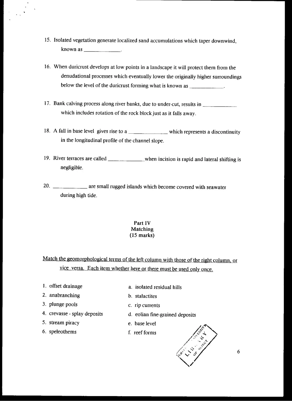
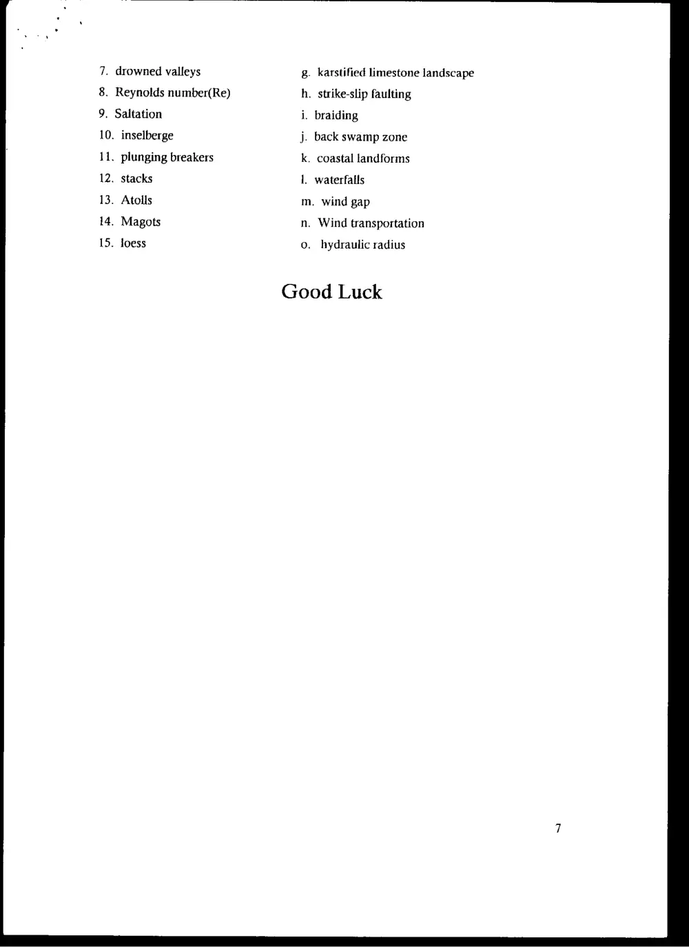
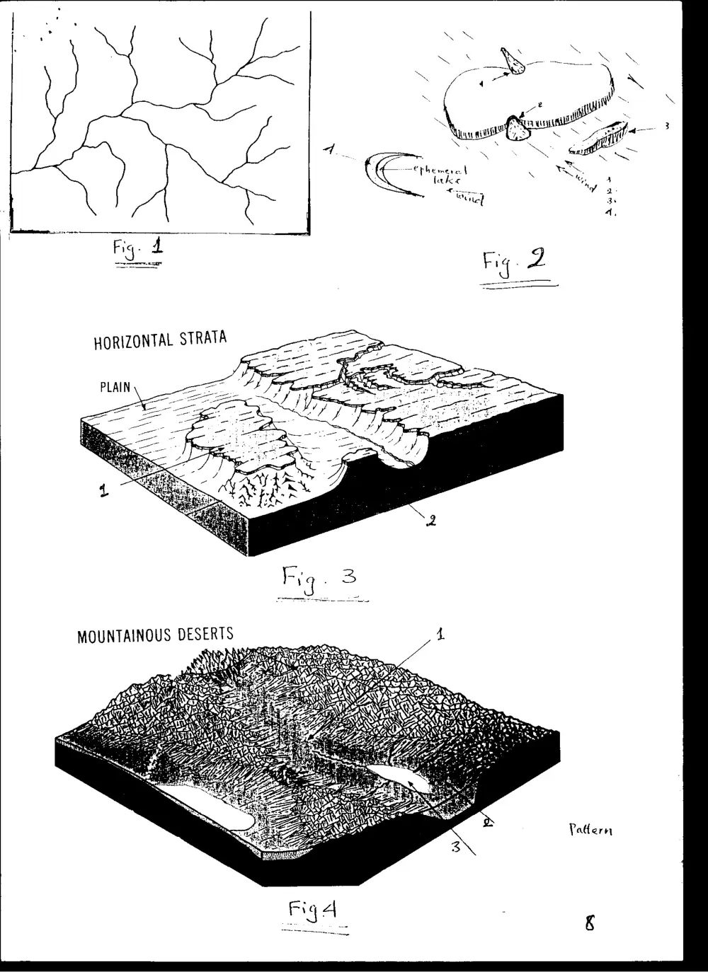
2. Put down the names of the geomorphological forms in the figures 2-4.
3. What are the differences between (answer 5 only):
entreched and ingrown meanders
- granular exfoliation and peeling
- tors and cores
perascensum and descensum
drainage density and drainage frequency
- channel bars and channel islands
barchanoid and barchan dunes.
4. Write an essay on the wave refraction and through the understanding of its effect on a
submerged shore features show the successive steps of the coastal geomorphic
cycle.
5. Use the Coulomb-Terzaghi shear strength equation S=C +6~ tan@ in drawing
sketches for the soil when it:: 1. Includes sand and clay
2. includes only clay
3. includes only sand.
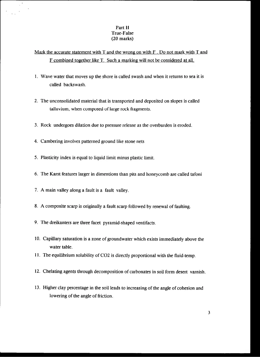
Part U
True-False
(20 marks)
Mark the accurate statement with T and the wrong on with F . Do not mark with T and
F combined together like T. Such a marking will not be considered at all.
1. Wave water that moves up the shore is called swash and when it returns to sea it is
called backswash.
2. The unconsolidated material that is transported and deposited on slopes is called
talluvium, when composed of large rock fragments.
3. Rock undergoes dilation due to pressure release as the overburden is eroded.
4. Cambering involves patterned ground like stone nets
5. Plasticity index is equal to liquid limit minus plastic limit.
6. The Karst features larger in dimentions than pits and honeycomb are called tafoni
7. A main valley along a fault isa fault valley.
8. A composite scarp is originally a fault scarp followed by renewal of faulting.
9. The dreikanters are three facet pyramid-shaped ventifacts.
10. Capillary saturation is a zone of groundwater which exists immediately above the
water table.
11. The equilibrium solubility of CO2 is directly proportional with the fluid-temp.
12. Chelating agents through decomposition of carbonates in soil form desert varnish.
13. Higher clay percentage in the soil leads to increasing of the angle of cohesion and
lowering of the angle of friction.
14.
15.
16.
17.
18.
19,
20.
Antesedent valleys are valleys that antedates the rise of the basel level (sea level)
A Cuesta has usually a backslope reaching up to 15° and a steep front slope.
Adjacent alluvial fans when grow and coalesce form bajada.
Levee are fluvial deposits which extend across the backswamp deposits.
The regolith that preserves the original bed structure forms pallid zones.
Organic processes usually produce vertical karst features called biokarst.
Yardang develop in desert soft and hard rock as large grooves.
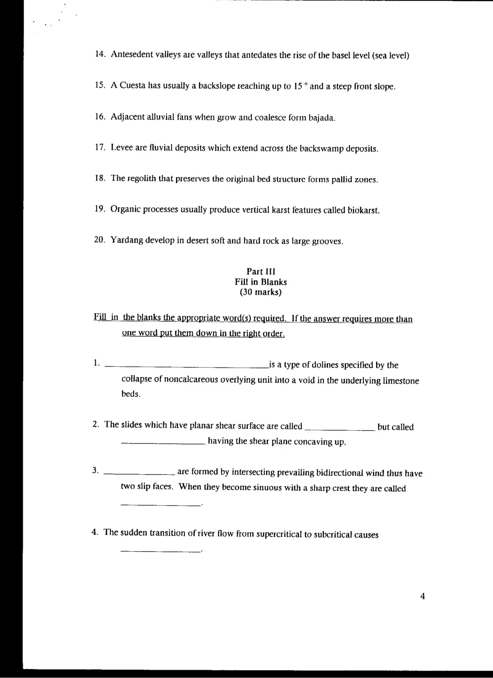
Part III
Fill in Blanks
(30 marks)
Fill in_the blanks the appropriate word(s) required. If the answer requires more than
one word put them down in the right order.
is a type of dolines specified by the
collapse of noncalcareous overlying unit into a void in the underlying limestone
beds.
2. The slides which have planar shear surface are called but called
having the shear plane concaving up.
are formed by intersecting prevailing bidirectional wind thus have
two slip faces. When they become sinuous with a sharp crest they are called
4. The sudden transition of river flow from supercritical to subcritical causes
7.
8.
9.
10.
11.
12.
13.
14,
are valleys formed where the river courses cross a feeding area then
cut through limestone area then continue out of it.
. The are triangular depositional forms with the apex extending
offshore. When are elongated and attached at one end to the main land they are
called
The are major coral reefic forms which are separated from the
mainland by deep channels.
The drainage pattern which has the primary tributaries join the main stream at right
angles while the secondary ones are parallel to it, is called
Upward movement of a fault -forming scarp downstream will create a
. Ifthe downward fault movement is downstream a
will be formed. A succession of the last features will be called
During the water flow, the river concave bank is eroded and the convex bank receive
deposits forming deposits.
A graben when levelled by erosion, then uplifted and differentially eroded the form
resulted which is opposite to the original form, is called
Star - shaped dolines when individually surrounded by a polygonal pattern of ridges
form what is called
The river valley is called as the sinkhole existing in the channel
led to lowering of the upstream segment, and formation of a cliff on the other
side of the sinkhole, down steamwards.
One of the explanations about the accumulation of coarse deposits or,
deposits, in the desert is that those deposits remain after blowing away of the fine
material.
. Isolated vegetation generate localized sand accumulations which taper downwind,
known as
. When duricrust develops at low points in a landscape it will protect them from the
denudational processes which eventually lower the originally higher surroundings
below the level of the duricrust forming what is known as
. Bank calving process along river banks, due to under-cut, results in
which includes rotation of the rock block just as it falls away.
. A fall in base level gives rise to a which represents a discontinuity
in the longitudinal profile of the channel slope.
. River terraces are called _when incision is rapid and lateral shifting is
negligible.
are small rugged islands which become covered with seawater
during high tide.
Part IV
Matching
(15 marks)
Match the geomorphological terms of the left column with those of the right column, or
vice _versa, Each item whether here or there must be used only once.
. offset drainage . isolated residual hills
. anabranching . Stalactites
. plunge pools . rip currents
. crevasse - splay deposits . eolian fine-grained deposits
. Stream piracy . base level
. speleothems . reef forms
7. drowned valleys
8. Reynolds number(Re)
9. Saltation
10.
11.
12.
13.
14,
15.
inselberge
plunging breakers
stacks
Atolls
Magots
loess
g. karstified limestone landscape
h. strike-slip faulting
i. braiding
j. back swamp zone
k. coastal landforms
1, waterfalls
m. wind gap
n. Wind transportation
o. hydraulic radius
Good Luck
Pattern